Old Barag Banner (Mongolian: ᠬᠠᠭᠤᠴᠢᠨ ᠪᠠᠷᠭᠤ ᠬᠣᠰᠢᠭᠤ; Chinese: 陈巴尔虎旗) is a banner of northeastern Inner Mongolia, China. It is located 28 kilometres (17 mi) from Hailar District, the administrative centre of Hulunbuir City, which administers this banner.
History
The area was part of the Han dynasty, Tang dynasty, Liao Dynasty, and Yuan dynasty, and is still home to historical ruins from these eras.
The Old Barag Banner is named after the Barga Mongols, who inhabited the area prior its official organization.
The area of the present-day Old Barag Banner was organized by the Qing Dynasty in 1732.
The current iteration of the Old Barag Banner was organized in 1919, but has undergone numerous administrative and boundary changes since then.
Economy
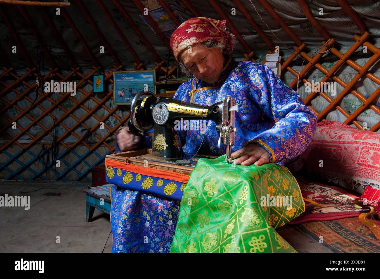
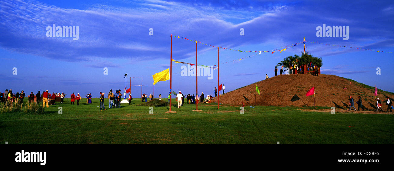
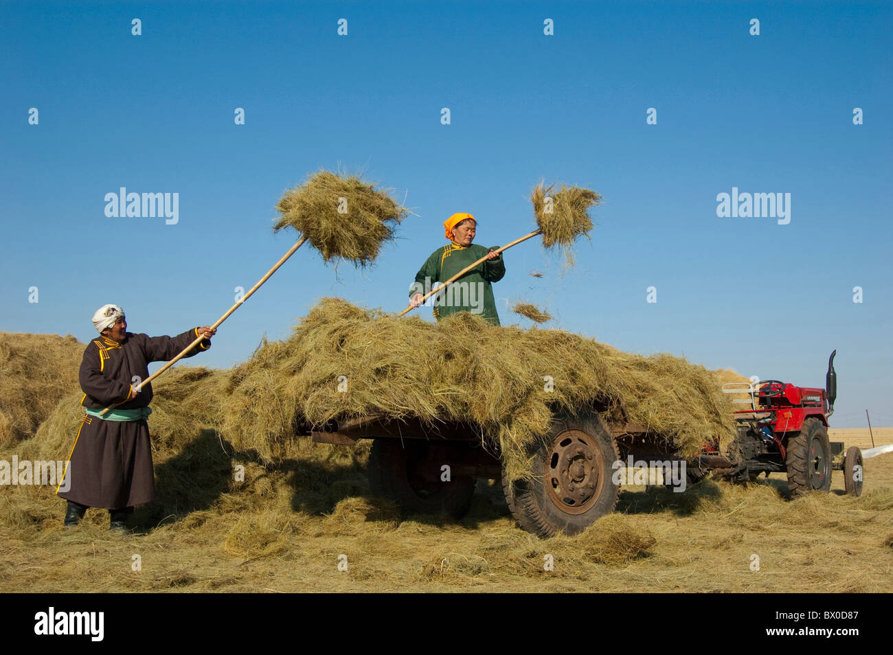
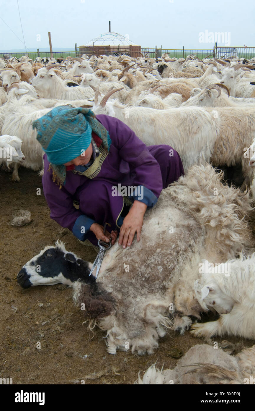
The banner is home to vast grasslands, which host a number of tourist attractions. The area is also home to various mineral deposits, which include coal, iron, copper, and zinc.
Transportation
National Highway 301 and Inner Mongolia Provincial Highway 201 both pass through the banner. Additionally, the Binzhou Railway also passes through the banner.
Administrative divisions
The Old Barag Banner has maintained jurisdiction over 3 towns, 3 sums, and 1 ethnic sum.
- Others:
- Hadat State-owned Ranch, Old Barag Banner (陈巴尔虎旗哈达图国营农牧场)
- State-owned Hot Tohoi Ranch, Inner Mongolia (内蒙古自治区国有浩特陶海牧场)
- Tenihe Ranch, Old Barag Banner (陈巴尔虎旗特泥河农牧场)
Climate
Old Barag has a humid continental climate (Köppen Dwb).
References